Location
Medicine Hat, Alberta
Share
The City of Medicine Hat engaged Associated Engineering to complete several transportation consulting assignments as part of one large transportation project.
The assignment included:
- Conversion of the City’s Travel Demand Forecasting Model from the existing Tmodel2 software to the EMME software
- Completion of capacity analyses for fifty intersections throughout the City
- Completion of functional planning studies for five existing corridors in the northwest industrial sector of the City.
The model design used a traditional four step process which includes trip generation/attraction, trip distribution, trip assignment and modal split. The EMME 2 software includes a graphical user interface, network editing tools, visualization and analysis capabilities, and GIS integration capabilities. A model run creates a travel forecast for any land use – network scenario.


Project Highlights


Following the successful conversion of the Travel Demand Forecasting Model, the model was utilized to generate traffic volumes for three future horizons; 2007, 75,000-population horizon, and 95,000-population horizon.
In order to review capacity and Level of Service at each population horizon, we completed capacity analyses at fifty intersections within the City. The Synchro 7.0 software was used to interpolate how the operation of individual intersections progresses with the growth of the City and associated network improvements.
An existing conditions assessment was completed at the initial phase of each functional planning study. The existing conditions assessment considered the current roadway geometry and operational, environmental, geotechnical, and stormwater conditions in order to identify deficiencies that need to be improved. A separate report was generated summarizing the results of the existing conditions assessment.
More Transportation Projects
See all projects

Transportation
Christina Lake Active Transportation Plan

Transportation
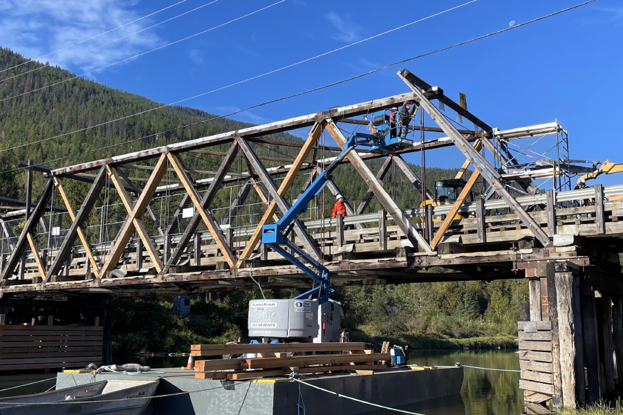
Battleford Truss Bridge Rehabilitation

Transportation
7 Avenue S. Bike Boulevard

Transportation
Don River Blvd. Bridge Rehabilitation

Transportation
Frank Channel and Kakisa River Bridge Assessment


Streetscaping
Nigel Valley Public Spaces

Infrastructure
Chippewas of Nawash First Nation – Roads and Culvert Flood Damage Repair

Transportation
Still Creek Pedestrian Bridge Replacement

Transportation
Glenmore Dam Utility Relocation

Transportation
Highway 7 Haney Bypass Intersection Improvements

Transportation
Outlook Truss Bridge Assessment

Transportation
Waterton National Park Trail Bridge Replacements

Transportation
Technical Expert for Deerfoot Trail Improvements Procurement and Delivery Process

Streetscaping
Vanalman Avenue Upgrades

Transportation
La Biche River Bridge – Highway 63
LEADERSHIP INSIGHTS
See all insights