Location
Calgary, Alberta
Expertise

Share
The Glencoe Golf & Country Club (GGCC) is situated on the south bank of the Elbow River, approximately 12 km upstream of the Glenmore Dam.
A significant portion of the GGCC is located within the floodway of the river. In June of 2013, the golf course was heavily damaged by overland flooding from the Elbow River. As part of GGCC’s flood mitigation strategy, Associated Engineering (AE) was retained to develop a detailed model of Elbow River to determine flooding impacts to the golf course during various river levels and to analyze the impacts of a raised barrier on the course and adjacent lands.


Project Highlights


Tasks included:
- Developing a 2-dimensional model of the Elbow River using Mike21.
- Modelling the impacts on the site from the 1:2, 5, 10, 25, 50, 100, 150, and 500-year flood events.
- Modelling the impacts of the flood events on the site and surrounding sites with a proposed flood protection barrier on the GGCC. The model will be used to support proposed flood protection for the GGCC by verifying impacts to adjacent lands of installing a flood protection barrier.
More Water Projects
See all projects


Infrastructure
Gitwinksihlkw Water Treatment Plant

Transportation
Kitsault Mine Access Road and Bridge Assessments


Buildings
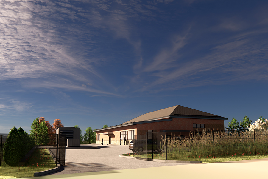
Residuals Treatment Facility

Infrastructure
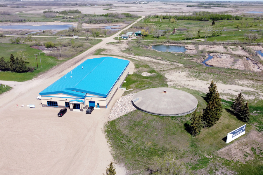
Melville Water Treatment Plant


Water
Japan Gulch Ultraviolet Disinfection Facility

Pump Stations
Horseshoe Slough Drainage Pump Station

Water
Source Watershed Assessment


Energy
Fort McMurray Wastewater Treatment Plant – Instrumentation, Controls & Automation


Environmental
Emergency Flood Damage Reduction Program

Water
Yorkton West Storm Drainage Study

Infrastructure
Pelican Lake First Nation Water Treatment Plant Expansion

Infrastructure
Drainage Improvement Study

Wastewater Treatment / Water Resource Recovery
Denare Beach Wastewater Treatment Plant Upgrades

Water
Edmonton City-Wide Flood Mitigation Assessment, Phase 2 – Area B

Environmental
MacFarlane Creek Drainage Study
LEADERSHIP INSIGHTS
See all insights